From 1877
The explorers
Moreno and the border
- Key figureFrancisco Moreno
- NamedFitz Roy and the lakes
- ThenThe boundary expedition
Guides
Language
Currency
Look up datesfrom $117 · free to cancelDecision guide
Find your day under Fitz Roy
Answer one or two questions and the matching day from El Calafate appears.
Best match for you
from $117
About 11 hours, with short guided walks to a viewpoint and a waterfall.
Best match for you
from $120
4 hours of guided hiking around a picnic lunch.
Best match for you
from $299
10 hours of hiking in a small group of up to 12.
El Chalten history is short as a town and long as a place: hunter-gatherers, a naturalist naming lakes, climbers on Fitz Roy and Cerro Torre, then a village founded in 1985 to hold a frontier.
Editorial team, elchaltendaytrip.top · Updated November 9, 2026 · Quick read: 8 min
Quick look
El Chalten history starts with the people who walked this valley long before any road. The municipality names the first inhabitants as the Aonikenk, or Tehuelche, hunter-gatherers whose name means people of the south.1 Across Los Glaciares National Park, the record of hunter-gatherer camps reaches back between 3,100 and 400 years before the present, depending on the sector.6 Some of the erratic boulders at these sites even carry rock paintings.
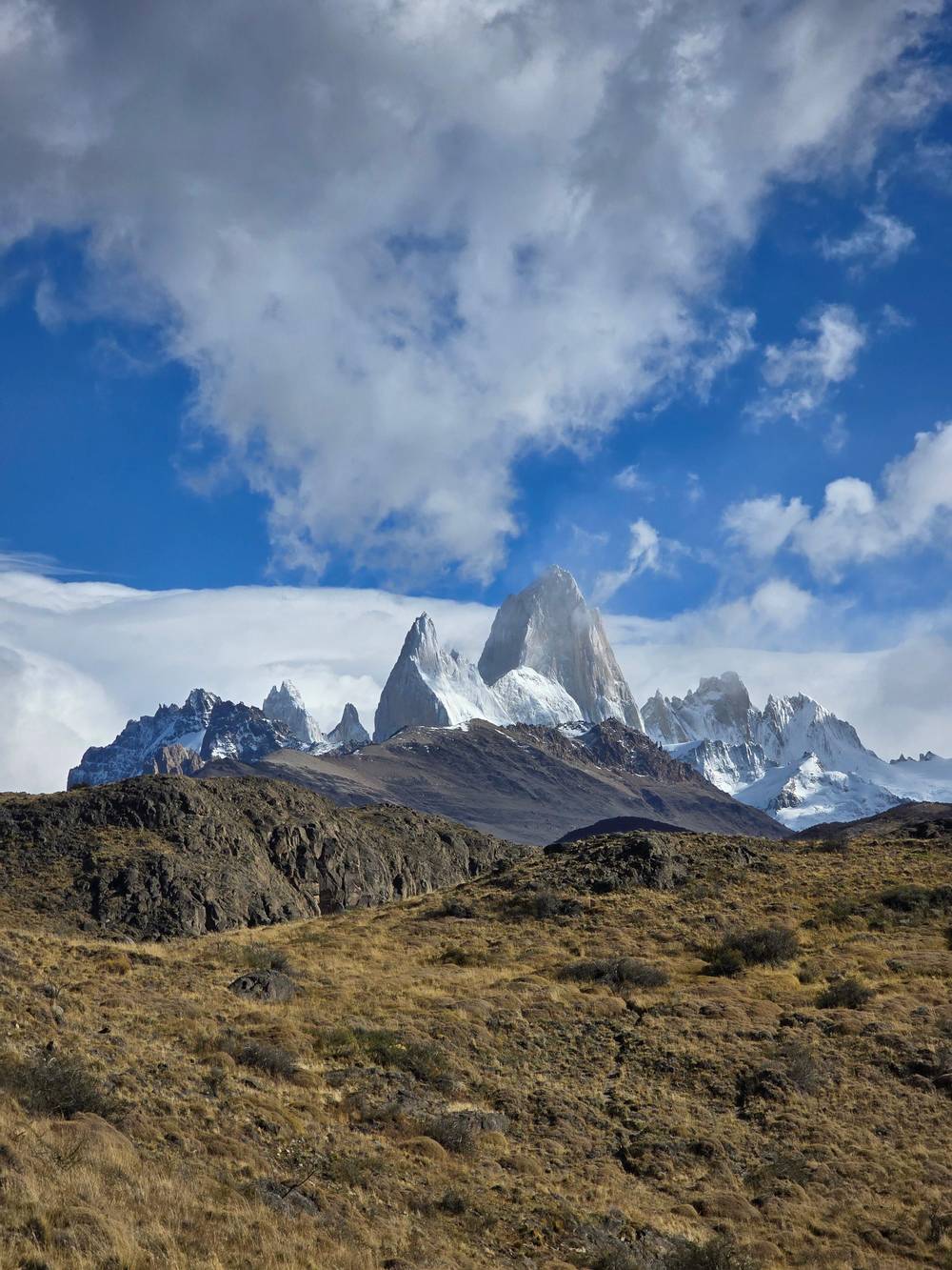
The Aonikenk gave the great mountain the name that the town now carries. According to the municipality, chaltén had several meanings: a mountain that smokes, a bluish mountain and a sawn edge, for the jagged shape of the peaks.7 The park adds the reason: early inhabitants mistook the cloud-wrapped summit for a volcano, hence the smoking mountain.8 Both readings fit a peak that is so often half hidden.
Stand in the village on a windy afternoon and the name explains itself. Cloud streams off the summit like smoke from a chimney, and the granite looks blue in the shade. When Governor Arturo Puricelli sent the bill to create the town, he wrote that the chosen name rescued a Tehuelche place name of essential value in Aonikenk mythology.9 The oldest layer of the story is still printed on every road sign.
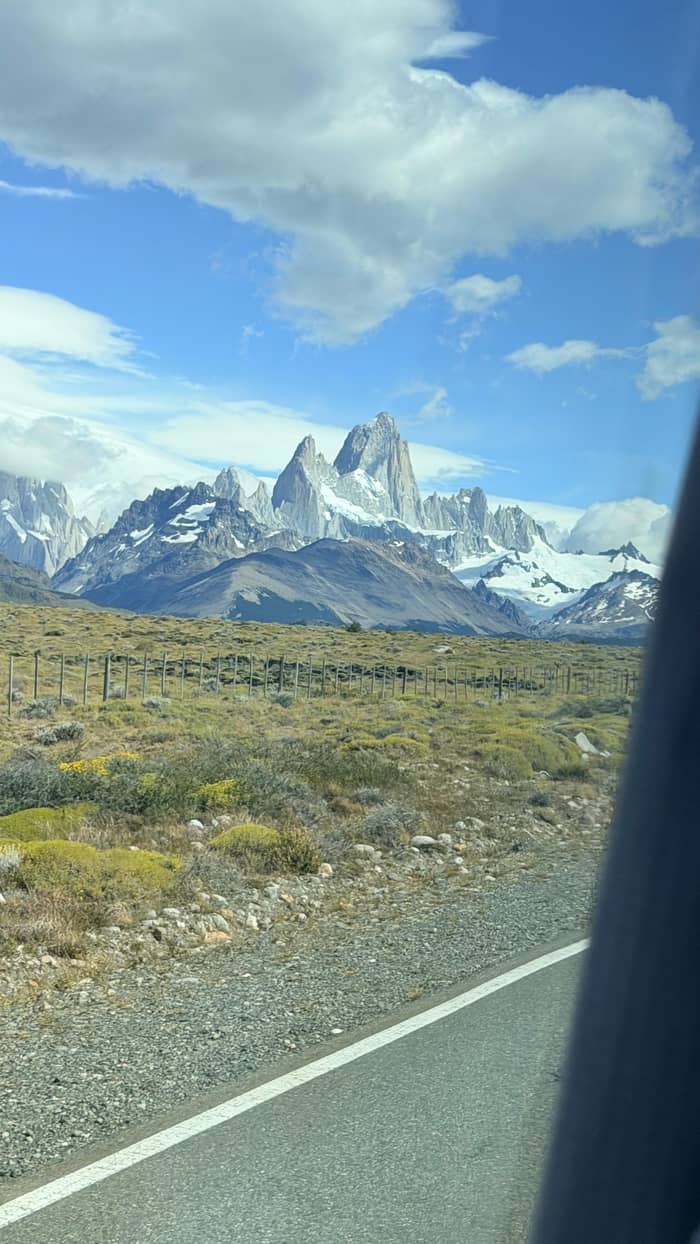
European names arrived with the explorers. In 1877 the naturalist Francisco Moreno travelled up the Santa Cruz River and named Lake Argentino, Lake Viedma and Mount Fitz Roy, which he only saw from a distance.2 That is why the peak carries a European name on most maps, while the town uses the older Tehuelche word. Locals use both, and so does the park, which writes Chaltén or Fitz Roy side by side.
Moreno came back years later on an expedition to mark the border with Chile, working with assistants of Nordic origin.11 Some of those men stayed and founded the first estancias around Lake Viedma, together with other European settlers.12 Estancias like theirs are the reason the steppe you cross on the day tour is lined with fences and the odd lonely ranch house. Tourist estancias still appear among the kinds of lodging the town lists today.13
The border question never fully went away. It explains much of what happened next, from the national park to the founding of the village itself. The museum in town covers the people of the lake, sovereignty and the boundary conflicts, and tells the founding of the village as a geopolitical act on a self-guided timeline.14,15 It is worth an hour if you want the local telling of the story rather than a summary.
In 1937 the area became the Los Glaciares national reserve, and in 1942 it was raised to a national park, which the municipality describes as the largest protected area in the country.10 The park's own fact sheet also calls it the largest of Argentina's national parks.25 From 1953 the national institute for the Patagonian ice built 9 refuges inside the protected area.26 Expeditions onto the Southern Icefield still leave from this area, over the Marconi Pass north of the village.27
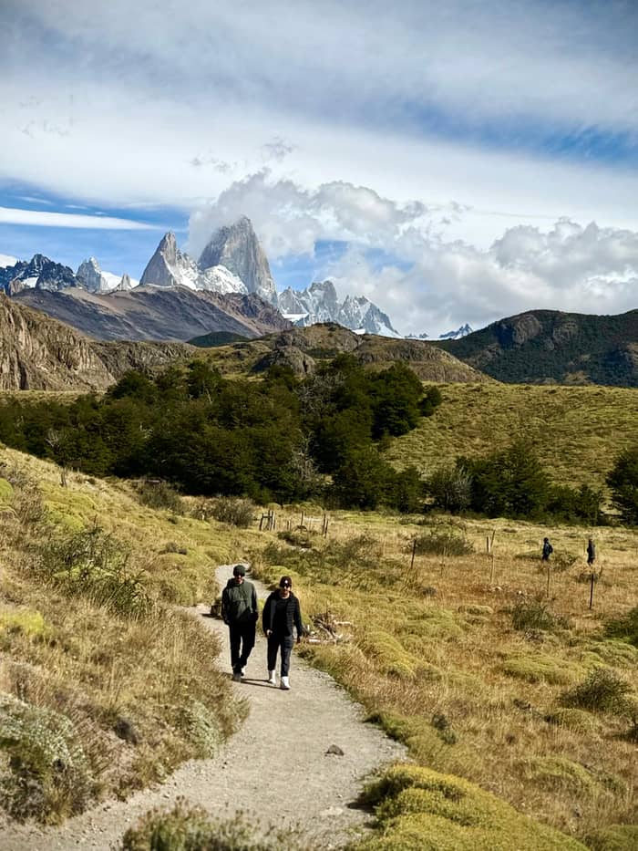
The mountains drew climbers from the same years. The first Argentine attempt on Fitz Roy took place in March 1948, and the National Trekking Festival remembers it every year.28 On 2 February 1952 the French climbers Magnone and Lionel Terray reached the summit, with logistical help from the Argentine government.3 The park gives the height of the Chaltén, or Fitz Roy, as 3,405 m.18 Seen from the village, the summit looks deceptively close, a sheer granite tooth above the forest. Today an El Chalten hike from El Calafate can reach its foothills in a single long day.
Cerro Torre had its own long story. The municipality lists De Agostini, Cesarino Fava, Cesare Maestri and Toni Egger among the climbers who made their names here, and records that Ferrari, Conti, Chiappa and Negri reached the summit of Cerro Torre in 1974.20 Today the park still calls its north zone a world mecca of technical climbing, with very hard peaks such as Fitz Roy and the Torre.29
Chapters of the story
From 1877
Moreno and the border
From 1948
Fitz Roy and Cerro Torre
From 1985
A town for the frontier
The town is much younger than the climbs. Santa Cruz's legislature passed Law 1771 creating El Chaltén on 10 September 1985, and the town was founded on 12 October that year.33,4 Of the 18 deputies who voted, 12 voted in favour, and the new place began life as a development commission.34 The municipality states plainly that it was founded for geopolitical reasons.4 It is worth remembering on the trails, which begin where the park handed over its land.
Governor Arturo Puricelli's message to the legislature argued that the area needed active economic presence to support the work of the National Gendarmerie in the region.35 To make room, the national park gave up part of its territory for the new town.36 That is why the village sits right on the park boundary, with trailheads at the end of its streets.
The same message also looked to tourism: the governor wrote that the area's natural beauty would let a tourist industry grow.37 In the decades since, the frontier outpost has become what he hoped for. Adventure tourism turned into the young town's main attraction and source of income, and the border with Chile still runs through the mountains above it.38 The trails, guides and guesthouses you use today are the direct result of that early bet.
See it for yourself
Select the outing and how many people are coming.
Compare 3 choices
Select the outing and how many people are coming.
≈
View≈
View≈
ViewStarting prices from GetYourGuide, converted at the ECB reference rate. You will see the exact price when booking.
Key dates
Before Europeans
1877
Names Lake Argentino, Lake Viedma and Fitz Roy.2
1937
Los Glaciares becomes a national reserve, a park in 1942.10
1952
Terray and Magnone top Fitz Roy on 2 February.3
1985
Law 1771; the town is founded on 12 October.4
1994
Declared on 28 July.5
The early numbers are tiny. The municipality's history records a settled population of 30 people in October 1989, with 12 houses built and a primary school, a civil registry and a police station working.16 The 1991 census recorded 41 permanent residents, and the 2001 census recorded 371.17 Walking the busy main street today, it is hard to picture a settlement that small. Today's village of hotels, cafés and gear shops grew almost entirely after those counts.
Trekking made the difference. On 28 July 1994 El Chaltén was declared the National Trekking Capital, a title meant to give value to its mountain trails.5 The tourism office explains that the busiest of them climb to Laguna Capri, Laguna Torre and Laguna de los Tres.39 Walking them, you follow the same valleys that lead toward the climbers' peaks, now signposted and kept up for visitors.
Recognition as a full town came later. In 2011 provincial Law 3249 made El Chaltén the 15th locality of Santa Cruz, by which time the Route 41 access had been paved.40,41 Only in 2015 could residents elect their own representatives by popular vote.42 Until then the village was run as a development commission under the province.34 For a place so famous among hikers, it is a remarkably new democracy, younger than many of the people who now hike its trails.
Video
Tyler Karow on YouTube · Tap play to load the video; not before.
They named the great mountain chaltén, a word with several meanings: mountain that smokes, bluish mountain and also sawn, for the shape of the mountains.
History stops
The town's shield, set out in Law 1771, puts an ice crystal on a pink ground in its upper left quarter, pink for the color of the hills around the village and the crystal for its glaciers and permanent snow.43 The flag was chosen in a local contest and designed by Edgar Benard Bacci.44 Its sky blue and white come from the national flag, and its pink stands for the mountain ranges that frame the town.45
To see the story told locally, visit the Museo Primera Escuela, where municipal staff give guided visits about the first settlers, the role of the first school as a community center and the first climbers.21 Nearby is the Tony Egger chapel, also called the Climbers' Chapel, listed as local and provincial built heritage.22 For opening hours, ask at the tourist information desk in the bus terminal.30
March visitors may catch the National Trekking Festival, which the town normally stages around the middle of the month to mark the Argentine expedition that first tried Fitz Roy, on 18 March 1948.23 Alongside the races there are recreational events such as an axemen's contest and a craft fair.46 It is the one time of year when the climbing history spills into the street, and visitors are welcome to watch.
Yes, El Calafate is in Patagonia, and so is El Chaltén. Argentina's National Parks Administration files Los Glaciares under its Patagonia Austral, or Southern Patagonia, region, and El Calafate is where visitors to its southern sector stay.47,48 The El Chaltén tourism office presents its own town as Southern Patagonia too.49 Across the border, Torres del Paine sits in Chile's Magallanes region, the Chilean side of the same wild south.50
The park itself earned world recognition early. UNESCO declared Los Glaciares a World Heritage Site in 1981, the first Argentine national park to receive that recognition, and its ice field ranks third in size among the continental ice fields left on Earth.51,52 The village lies on the park's northern rim, El Calafate near its southern end. El Chaltén and El Calafate share one park but face different landscapes: granite spires in the north, ice and lakes in the south.
Can you hike under Fitz Roy on a day out of El Calafate? The standard coach day keeps walking light, with a 700 m stroll to the condor lookout and 300 m to the falls. For a real hike, one guided day from El Calafate spends 4 hours walking toward Laguna Capri around a picnic, and another sets aside 10 hours of hiking for Laguna de los Tres in a 16-hour day. Pick the day that matches your legs, and leave the summit to the climbers.
FAQ
It was founded for geopolitical reasons under provincial Law 1771.4
The French climbers reached the summit on 2 February 1952.3
The summit stands at 3,405 m, by the national park's figure.18
Moreno named the mountain in 1877 while travelling up the Santa Cruz River.2
It was declared the National Trekking Capital on 28 July 1994 for its mountain trails.5
It offers guided visits about the first settlers, the first school and the first climbers.21
Sources
Read next
Tour, bus or car to El Chalten? Ask a real person.